- Conduct Wildfire Simulations
- Optimize Weather Stations
- Weather Station Application
- Open Source Materials
- Pilot Upper-Air Profiler
Unfortunately, disastrous wildfire seasons in our state have become all too common, and conditions are ripe for rapid wildfire spread. Hot summers with little precipitation bring about drought conditions, increasing amounts of dead trees act as fire fuel, and more extreme weather events related to climate change are occurring.
Two important notes about the tool:
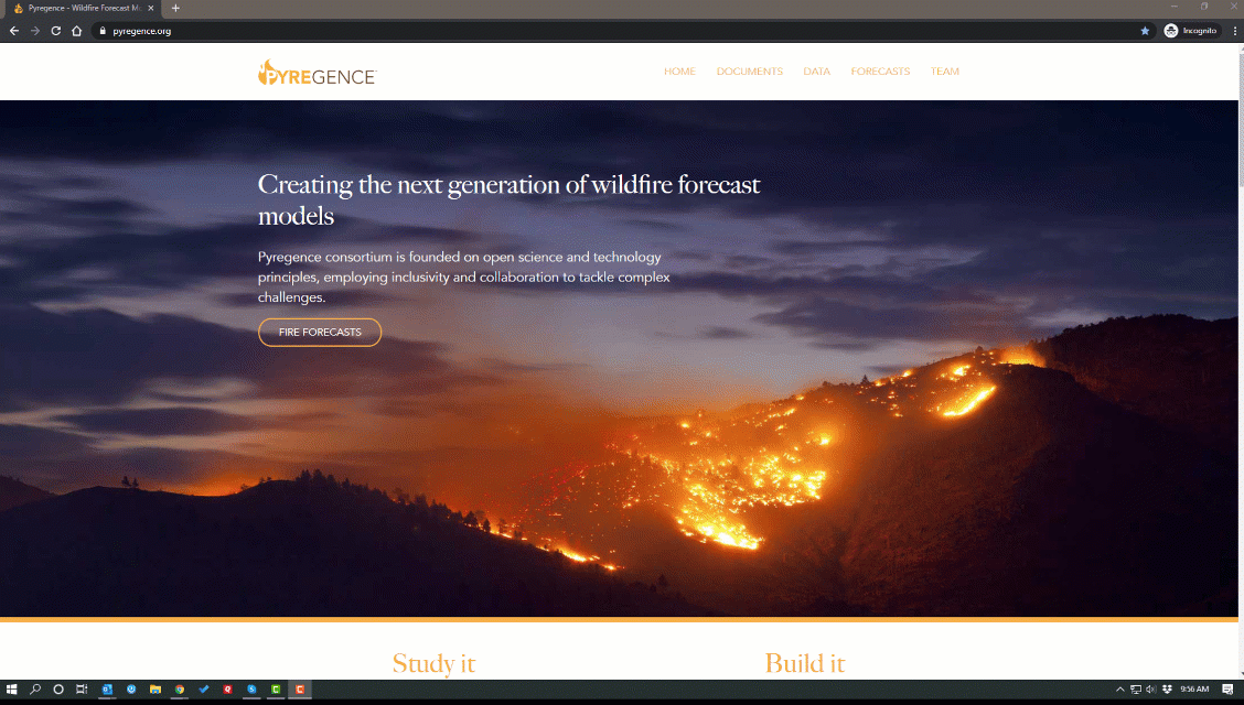
The state of California at a critical inflection point. In order to mitigate the devastating effects of wildfires, in 2019, we helped form The Pyregence Consortium. The mission of the consortium is to better equip everyone effected by wildfires, from concerned citizens, to utility companies and state agencies, with the information they need to reduce wildfire risk.
Funded by a grant from the California Energy Commission, the consortium is comprised of experts in wildfire, forestry, weather and climate change from 18 institutions across academic, private consultancy and government sectors. Together, the members are advancing two key goals:
The advancement of fire behavior science through cutting-edge research being performed on forest fuels, fire physics, climate and weather dynamics: Members of the consortium are developing a new system for measuring forest fuels, and driving research on the role of weather and fire physics on wildfire spread.
Delivery of the “next generation” of wildfire forecasting tools: Building on fire behavior research, the group will refine model inputs to integrate previously underrepresented factors, including embercast caused ignitions, forest fuel characteristics, large-scale tree mentality, and fire weather feedbacks.
In light of recent events, the consortium is making its first forecasting tool available. While still in its beta stage, the Pyregence forecasting tool is a free, online tool that can be used by members of the public, and people within organizations interested in understanding fire spread. Users can view active fires burning in CA, and see where they’re expected to spread over the course of 48 hours.
To perform the analysis, team members used a novel machine-learning algorithm to identify archetypal weather conditions that were associated with the most rapidly growing fires during the last two decades.
The weather conditions identified include:
The algorithm was then applied to eight fire weather regions across California that have similar weather, topography, and vegetation. As featured in the map below, the fire weather regions included in the model were the four coastal regions (San Diego, Los Angeles, Central Coast, and the Bay Area), the western and the eastern faces of the Sierra Nevada Mountain range, the Northern coastal/central region, and a northern interior region.
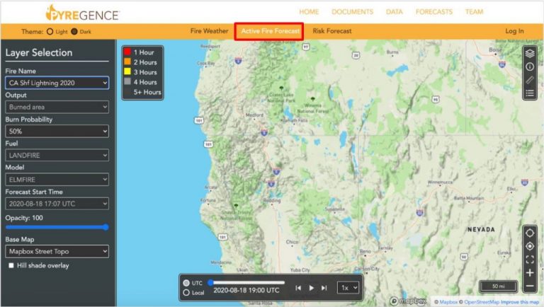
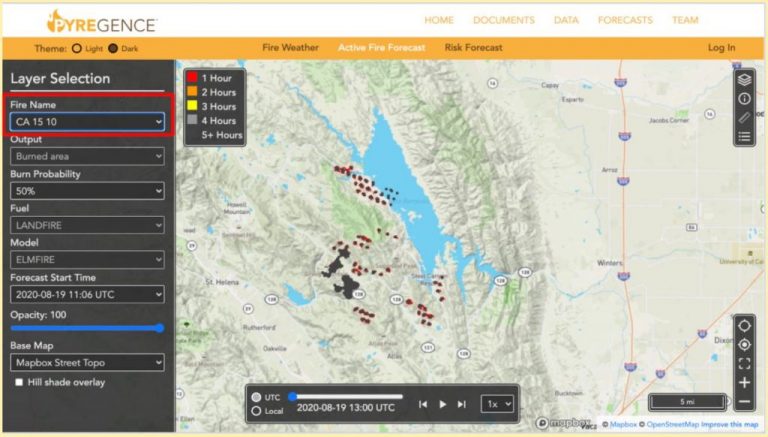
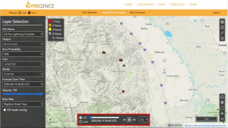
The Pyregence tool predicts active fire spread over the course of 48 hours.
For first-time users, below is a three-step tutorial for using the Pyregence forecasting tool.
The Pyregence tool predicts active fire spread over the course of 48 hours.
For first-time users, below is a three-step tutorial for using the Pyregence forecasting tool.
The Pyregence tool predicts active fire spread over the course of 48 hours.
For first-time users, below is a three-step tutorial for using the Pyregence forecasting tool.
2. We offer three forecasts: “Fire Weather”, “Active Fire Forecast”, and “Risk Management.” Select the middle tab, “Active Fire Forecast.”
The Pyregence tool predicts active fire spread over the course of 48 hours.
For first-time users, below is a three-step tutorial for using the Pyregence forecasting tool.
3. Hit the “play” button on the bottom of the screen to view forecasted fire spread. You may also use the drop down menu to adjust the speed (.5, 1x, 2x or 5x).
The Pyregence forecasting tool was developed by a team led by Dr. Chris Lautenberger of Reax Engineering that includes Maria Theodori, also of Reax Engineering, Dr. Gary Johnson and Matt Spencer of Spatial Informatics Group, Dr. Dave Marvin of Salo Sciences, and Dr. David Saah, Professor at the University of San Francisco.
We welcome your feedback. Contact us directly at pyregence@sig-gis.com.